About Me
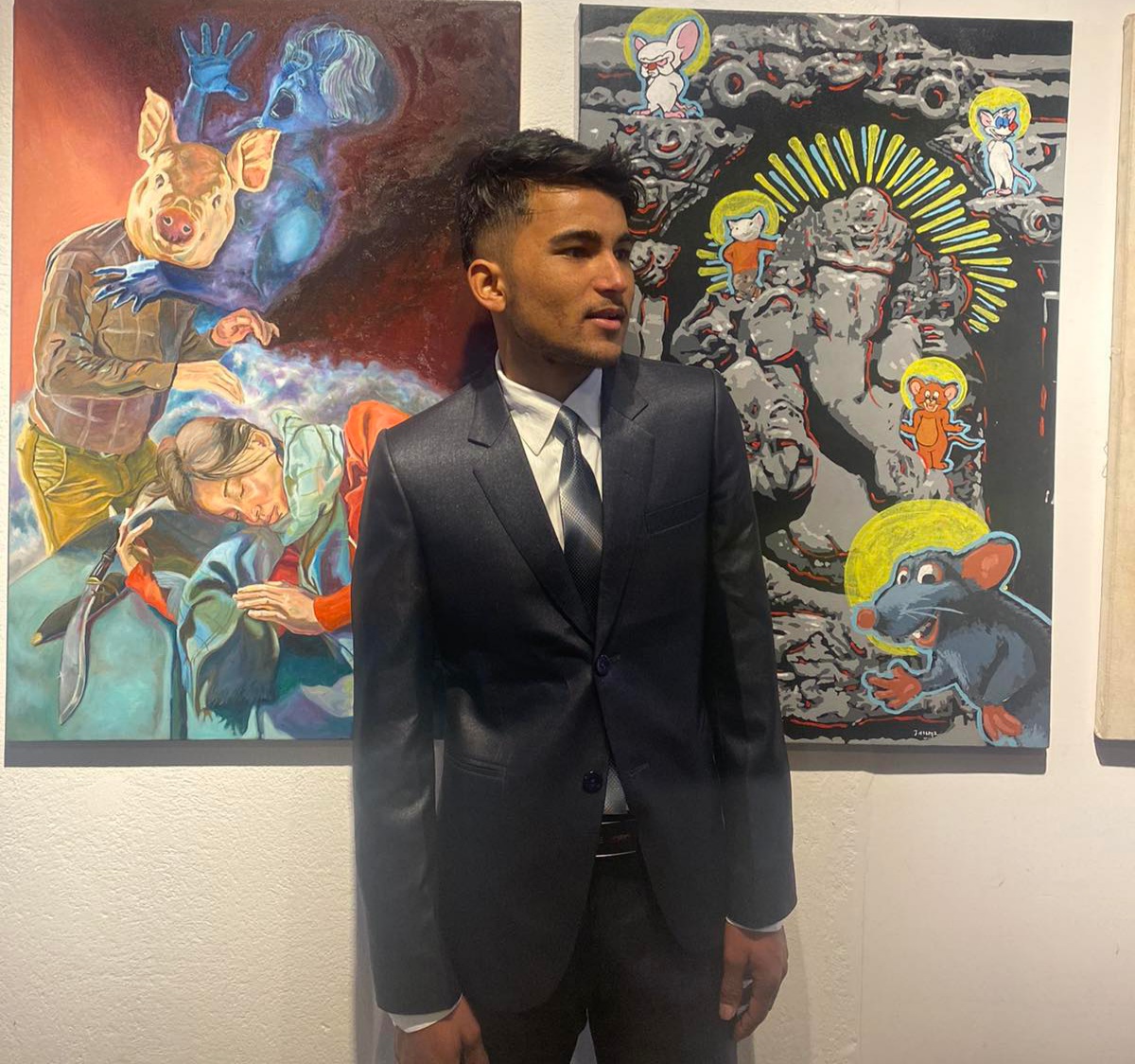
A Geomatics Engineer from Kathmandu University and a passionate geo-enthusiast specializing in surveying, GIS, remote sensing, and spatial data analysis. I focus on transforming geospatial data into meaningful insights for environmental modeling, infrastructure planning, and disaster risk assessment, using modern geospatial technologies and analytical methods.
Skills
Education
Hobbies
- Surveying & Mapping
Total Station, DGPS Surveying, AutoCAD, SWDTM - Geospatial Tools
QGIS, ArcGIS, Remote Sensing - Data & Office Tools
Excel, Word, PowerPoint - Basic Programming
Python, HTML, CSS, JavaScript
- Secondary Level (2008–2018)
Muna Memorial Academy Dehimandu Doti - Higher Secondary (2018–2020)
Kailali Multiple Campus, Dhangadhi, Kailali - Bachelor Degree (2021–2025)
BE in Geomatics Engineering, Kathmandu University
Dhulikhel, Kavre
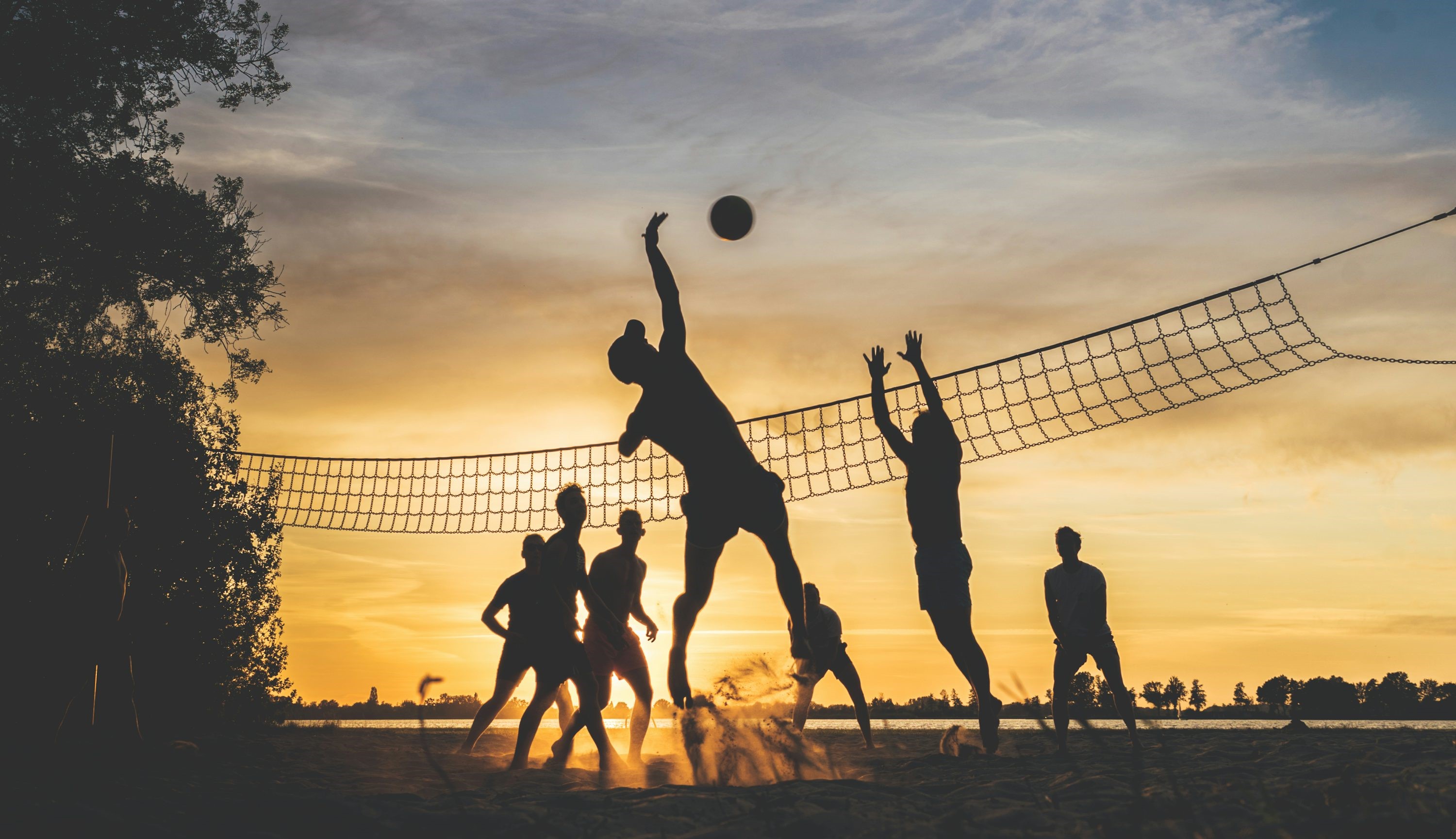
- Outdoor Games
Volleyball, Basketball, and Athletics - Reading Books
- Listening to Music